Een overzicht van de kernwoorden over het verkeer. Hier kunt u gemakkelijk kernwoorden en definities opzoeken die u nog niet kent.
More subjects
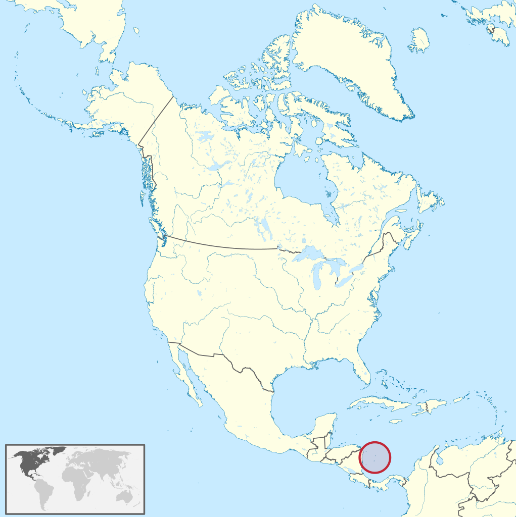
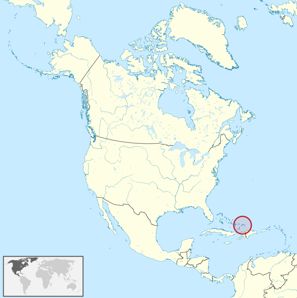
The Archipelago of San Andrés, Providencia and Santa Catalina (Spanish: Archipiélago de San Andrés, Providencia y Santa Catalina, pronounced [aɾtʃiˈpjelaɣo ðe ˌsan anˈdɾes pɾoβiˈðensja i ˌsanta kataˈlina]), or San Andrés and Providencia, is one of the departments of Colombia, and the only one in North America. It consists of two island groups in the Caribbean Sea about 775 km (482 mi) northwest of mainland Colombia, and eight outlying banks and reefs. The largest island of the archipelago and Colombia is called San Andrés and its capital is San Andrés. The other large islands are Providencia and Santa Catalina Islands which lie to the north-east of San Andrés; their capital is Santa Isabel. (Source: Wikipedia.org, CC BY-SA)
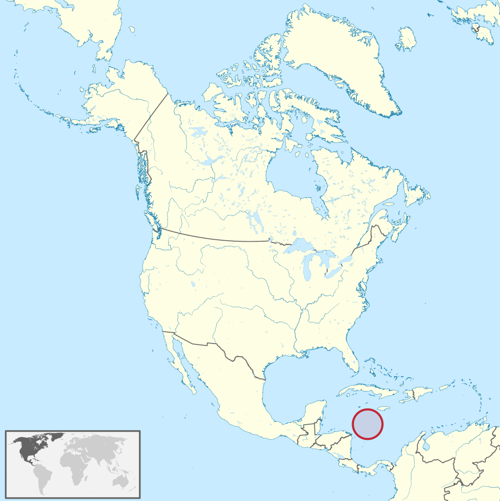
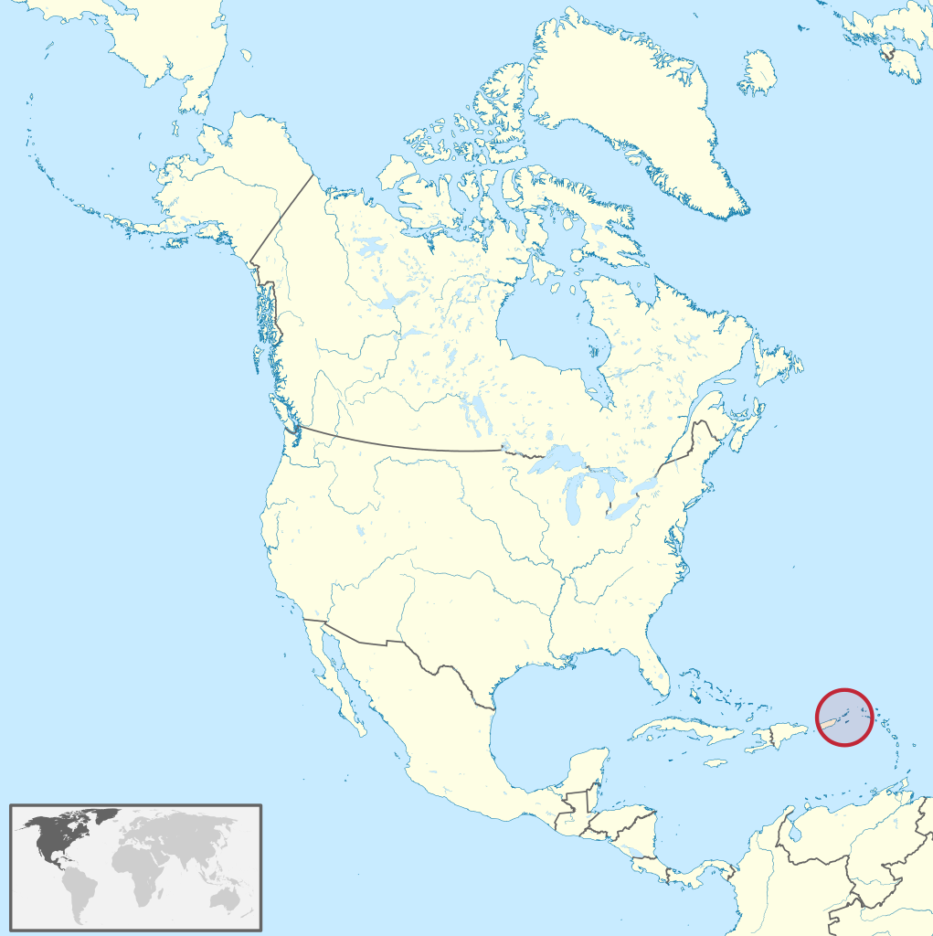
Serranilla Bank (Spanish: Isla Serranilla, Banco Serranilla and Placer de la Serranilla) is a partially submerged reef, with small uninhabited islets, in the western Caribbean Sea. It is situated about 350 kilometres (220 mi) northeast of Punta Gorda, Nicaragua, and roughly 280 kilometres (170 mi) southwest of Jamaica. The closest neighbouring land feature is Bajo Nuevo Bank, located 110 kilometres (68 mi) to the east. Serranilla Bank was first shown on Spanish maps in 1510. It is administered by Colombia as part of the department of San Andrés and Providencia. The reef is subject to a sovereignty dispute involving Colombia, Honduras and the United States. In 2012, in regards to Nicaraguan claims to the islands, the International Court of Justice (ICJ) upheld Colombia's sovereignty over the bank. (Source: Wikipedia.org, CC BY-SA)
Sint Eustatius (Dutch: Sint Eustatius, pronounced [sɪnt øːˈstaːtsijʏs] ), also known locally as Statia (/ˈsteɪʃə/), is an island in the Caribbean. It is a special municipality (officially 'public body') of the Netherlands. The island lies in the northern Leeward Islands portion of the West Indies, southeast of the Virgin Islands. Sint Eustatius is immediately to the northwest of Saint Kitts, and to the southeast of Saba. The regional capital is Oranjestad. The island has an area of 21 square kilometres (8.1 sq mi). Travellers to the island by air arrive through F. D. Roosevelt Airport. Formerly part of the Netherlands Antilles, Sint Eustatius became a special municipality of the Netherlands on 10 October 2010. Together with Bonaire and Saba it forms the BES islands. The name of the island, 'Sint Eustatius', is the Dutch name for Saint Eustace (also spelled Eustachius or Eustathius), a legendary Christian martyr, known in Spanish as San Eustaquio and in Portuguese as Santo Eustáquio or Santo Eustácio. (Source: Wikipedia.org, CC BY-SA)
Sint Maarten (Dutch pronunciation: [sɪntˈmaːrtə(n)] ) is a constituent country of the Kingdom of the Netherlands in the Caribbean. With a population of 41,486 as of January 2019 on an area of 41.44 km2 (16.00 sq mi), it encompasses the southern 44% of the divided island of Saint Martin, while the northern 56% of the island constitutes the French overseas collectivity of Saint Martin. Sint Maarten's capital is Philipsburg. Collectively, Sint Maarten and the other Dutch islands in the Caribbean are often called the Dutch Caribbean. Before 10 October 2010, Sint Maarten was known as the Island Territory of Sint Maarten (Dutch: Eilandgebied Sint Maarten), and was one of six island territories (eilandgebieden) that constituted the Netherlands Antilles. Sint Maarten has the status of an overseas country and territory (OCT) and is not part of the European Union. On 6 and 7 September 2017, the island was hit by Category 5 Hurricane Irma, which caused widespread and significant damage to buildings and infrastructure. (Source: Wikipedia.org, CC BY-SA)
Trinidad and Tobago (/ˈtrɪnɪdæd ... təˈbeɪɡoʊ/ , /- toʊ-/), officially the Republic of Trinidad and Tobago, is the southernmost island country in the Caribbean. Consisting of the main islands Trinidad and Tobago, and numerous much smaller islands, it is situated 130 kilometres (81 miles) south of Grenada and 11 kilometres (6.8 miles) off the coast of northeastern Venezuela. It shares maritime boundaries with Barbados to the northeast, Grenada to the northwest and Venezuela to the south and west. Trinidad and Tobago is generally considered to be part of the West Indies. The island country's capital is Port of Spain, while its largest and most populous city is San Fernando. The island of Trinidad was inhabited for centuries by Indigenous peoples before becoming a colony in the Spanish Empire, following the arrival of Christopher Columbus, in 1498. Spanish governor José María Chacón surrendered the island to a British fleet under the command of Sir Ralph Abercromby in 1797. Trinidad and Tobago were ceded to Britain in 1802 under the Treaty of Amiens as separate states and unified in 1889. Trinidad and Tobago obtained independence in 1962, becoming a republic in 1976. (Source: Wikipedia.org, CC BY-SA)
The Turks and Caicos Islands (abbreviated TCI; /tɜːrks/ and /ˈkeɪkəs, -koʊs, -kɒs/) are a British Overseas Territory consisting of the larger Caicos Islands and smaller Turks Islands, two groups of tropical islands in the Lucayan Archipelago of the Atlantic Ocean and northern West Indies. They are known primarily for tourism and as an offshore financial centre. The resident population in July 2021 was put at 57,196, making it the third-largest of the British overseas territories by population. The islands are southeast of Mayaguana in the Bahamas island chain and north of the island of Hispaniola (Haiti and the Dominican Republic). Grand Turk (Cockburn Town), the capital since 1766, is situated on Grand Turk Island about 1,042 kilometres (647 mi) east-southeast of Miami, United States. They have a total land area of 430 square kilometres (170 sq mi). (Source: Wikipedia.org, CC BY-SA)
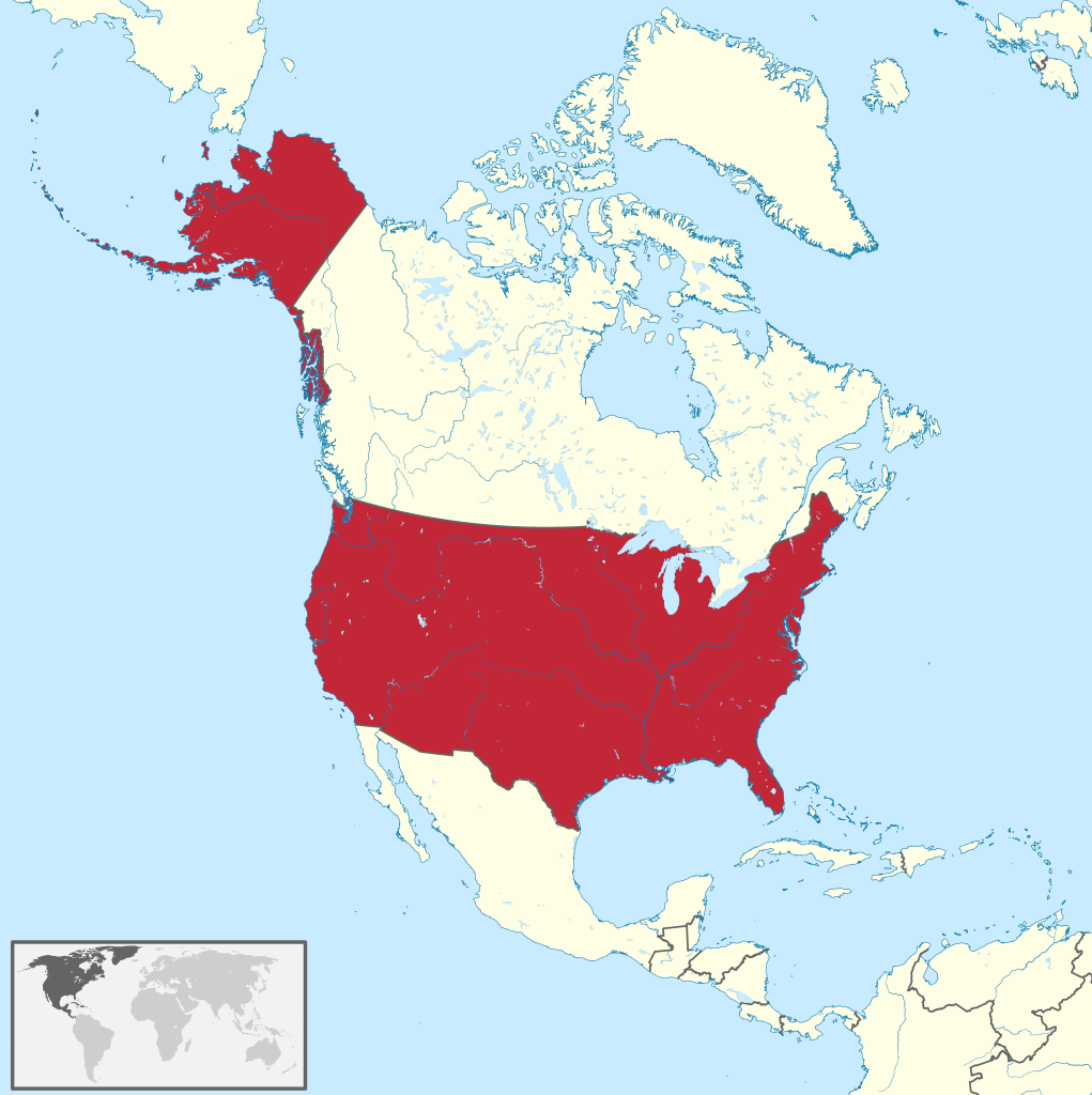
The United States of America (U.S.A. or USA), commonly known as the United States (U.S. or US) or informally America, is the most populous country in North America. It consists of 50 states, a federal district, five major unincorporated territories, nine Minor Outlying Islands, and 326 Indian reservations. It is the third-largest country by both land and total area. The United States shares land borders with Canada to its north and with Mexico to its south. It has maritime borders with the Bahamas, Cuba, Russia, and other nations. With a population of over 331 million, it is the third most populous country in the world. The national capital is Washington, D.C., and the most populous city and financial center is New York City. The United States is a highly developed country, and its economy accounts for approximately a quarter of global GDP and is the world's largest by GDP at market exchange rates. By value, the United States is the world's largest importer and second-largest exporter. Although it accounts for just over 4.2% of the world's total population, the U.S. holds over 30% of the total wealth in the world, the largest share held by any country. The United States is a founding member of the United Nations, World Bank, International Monetary Fund, Organization of American States, NATO, and is a permanent member of the United Nations Security Council. The country makes up more than a third of global military spending and is the foremost military power in the world and a leading political, cultural, and scientific force. (Source: Wikipedia.org, CC BY-SA)
The United States Virgin Islands, officially the Virgin Islands of the United States, are a group of Caribbean islands and an unincorporated and organized territory of the United States. The islands are geographically part of the Virgin Islands archipelago and are located in the Leeward Islands of the Lesser Antilles to the east of Puerto Rico and west of the British Virgin Islands. The U.S. Virgin Islands consist of the main islands of Saint Croix, Saint John, and Saint Thomas and 50 other surrounding minor islands and cays. The total land area of the territory is 133.73 square miles (346.36 km2). The territory's capital is Charlotte Amalie on the island of St. Thomas. Previously known as the Danish West Indies of the Kingdom of Denmark–Norway (from 1754 to 1814) and the independent Kingdom of Denmark (from 1814 to 1917), they were sold to the United States by Denmark for $25,000,000 in the 1917 Treaty of the Danish West Indies and have since been an organized, unincorporated United States territory. The U.S. Virgin Islands are organized under the 1954 Revised Organic Act of the Virgin Islands and have since held five constitutional conventions. Tourism and related categories are the primary economic activities. (Source: Wikipedia.org, CC BY-SA)

Time for recess! Post a comment, ask a question or write a review. Feel free to let us know what you think!
Vwb borden verkeersplein en rotonde slaat U hier de plank behoorlijk mis. Mag wel eens aangepast worden. Jammer.
Driving whit a tractor possible? What are the requirements? Can i drive whit a dutch T-licence?
 -1
-1
Tot waar geldt een verkeersbord? In België is dat tot het volgende kruispunt, in Spanje lijkt het verder te reiken.
Waar kan ik het bord vinden, einde werk in uitvoering. Er staat dan een schuine streep er door.
-1
Waar kan ik hetbord vinden, einde werk in uitvoering. Er staat dan een schuine streep er door.
0
بعضی سوالها طوری ترراهی شده ذهن مراجعین رامختل می کند.تااینکه معلومات را اضافه کند
Bij ons staat in het park een bord rond met een poepende hond erop is dat een verbodsbord of een opmerkings bord ? Ze laten de honden poepen en lopen gewoon lekker door kan dat zo maar ???
ik wil met kleine aanhanger zonder eigen kenteken naar de oekraine kan dat ,zonder probleem
0
Instructies onduidelijk, ben met verkeersbord tegen auto aangereden (geintje). Ik had wel wat aan de random test, truckje dat mij enorm hielp is een patroon ontdekken in de vorm en kleur van bord en en aangegeven symbool, dan kun je het juiste antwoord meestal wel raden,ook als je niet zeker bent.
0
Oei ! Ik dacht hier de Thaise wegcode te vinden in het NL ? Blijkbaar mis ? Iemand een LINK waar ik dat wel kan vinden, Thaise wegcode met verkeersborden en info in het Nederlands? Mag altijd gestuurd worden ...
Beste student! Op deze pagina proberen we u iets bij te leren over de verkeersregels. Laat ons weten wat u ervan vindt!
0